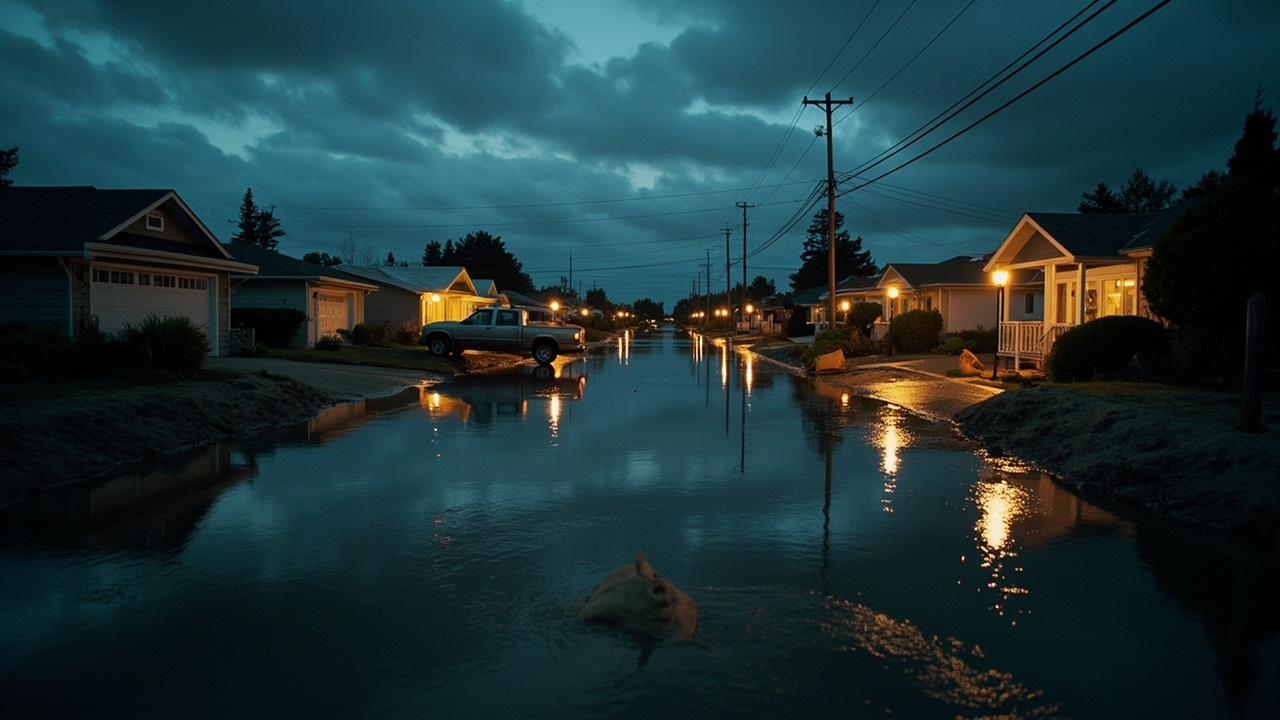
TL;DR: Humboldt County's Office of Emergency Services announced it would issue an evacuation warning for King Salmon and Fields Landing effective Friday, Nov. 20, 2026, warning that an evacuation order could become necessary as early as Sunday as king tides build toward a Nov. 24–26 peak.
The sheriff's Office of Emergency Services, known as OES, posted the notice on Nov. 19 and urged residents of the two Humboldt Bay communities to prepare immediately and to consider relocating voluntarily while travel is still safe. The National Weather Service office in Eureka expects the tides to keep building through the weekend, and the county says bay water could reach about 10 feet — close to or past the 10.37-foot record — bringing moderate to major flooding to low-lying shoreline areas.
The warning alone does not require anyone to leave. A mandatory order, the county says, could follow if storm surge and water levels push the forecast higher.
Key dates
| Date | Status |
|---|---|
| Fri., Nov. 20 | Evacuation warning scheduled to take effect in both communities |
| Sat., Nov. 21 | Sandbag volunteer day in King Salmon, noon to 3 p.m. |
| Sunday | Earliest point at which an evacuation order could become necessary |
| Nov. 24–26 | King tides forecast to peak |
| Tuesday or Wednesday | Swells of roughly 15 to 18 feet possible |
Sources: County of Humboldt (Nov. 19); CBS News Sacramento; North Coast Journal.
The water forecast
Minor to moderate flooding is expected around low-lying parts of Humboldt Bay during morning high tides from Saturday through Monday, CBS News Sacramento reported. Conditions could worsen Tuesday, when strong southerly winds add storm surge to tides that are already elevated.
County officials told CBS that water levels could approach 10 feet if a recent tidal anomaly persists, against a record of 10.37 feet. Forecasters said major or record water levels are possible next week, with numerous homes exposed if the higher end of the forecast verifies. Swells of roughly 15 to 18 feet Tuesday or Wednesday would add coastal flooding, erosion and wave run-up to the list of concerns.
What a warning allows, and what an order demands
A warning flags a potential threat to life or property. It carries no requirement to leave, but the county asks residents to treat it seriously, follow conditions and be ready to go. Leaving ahead of an order, the county's notice says, cuts the risk of being stranded once water rises over roads.
An order is a lawful directive from the sheriff, issued when the threat is immediate. Anyone inside the zone must leave at once, and the area stays off-limits to the public until officials lift the directive and decide return is safe. In that case, temporary shelters and evacuation centers would be arranged through the Humboldt County Department of Health and Human Services, with locations and availability released as they are confirmed.
Why these two communities
King Salmon, a canal-lined community on the bay, has already seen what this mix of hazards can do. Heavy rain, storm surge and king tides — including the record 10.37-foot peak on Jan. 3 — pushed waist-high water into parts of the town for three days and left major damage behind, the North Coast Journal reported.
Tides there are running about 1.4 feet above the gravitational fluctuation driven by the sun and moon, an anomaly the weather service's warning coordination meteorologist, Ryan Aylward, attributed to thermal expansion and Kelvin waves tied to El Niño, according to the North Coast Journal.
Household steps the county recommends
Residents in low-lying or flood-prone areas should have sandbags or other flood barriers ready, shift vehicles and valuables to higher ground and secure outdoor items that water could damage or sweep away. The county also recommends several days of food, medications, drinking water, flashlights and batteries on hand in case roads close or utilities fail.
Generators should be fueled and tested ahead of time and run outdoors, well clear of doors, windows and vents, to avoid carbon monoxide poisoning. Households that need extra time — with children, animals, mobility limitations or medical needs — should start arranging now, the county says.
Driving during the flood window
Limit travel to essential trips during flooding and severe weather, especially in low-lying areas and on roads prone to slides or standing water. Do not drive around closure signs or attempt a flooded crossing: shallow, fast-moving water can push a vehicle off the road, and the pavement underneath may be damaged or missing. Watch for falling trees, debris and rockslides, allow extra time, slow down and use alternate routes.
Shelter, holiday timing and sandbag help
The county acknowledged that securing temporary accommodations during the Thanksgiving holiday may be harder than usual, and that leaving home or changing plans can add stress to the decision.
Humboldt County Organizations Active in Disaster and Cal Poly Humboldt plan a sandbag volunteer day in King Salmon on Nov. 21 from noon to 3 p.m. at Buhne Drive and Crab Street for residents of King Salmon and Fields Landing, the North Coast Journal reported. Sign-ups are at findsandbags.org, which also lists sources for storm supplies, and questions go to [email protected].
Why the county moved early
The county says its aim is maximum lead time, so families can prepare, line up places to stay and relocate before conditions become dangerous; it also acknowledged the strain of leaving home, altering holiday plans or being separated from relatives. OES said it is coordinating with local agencies and operational partners to track conditions, prepare for flooding and line up help for affected residents.
Alerts and other areas under watch
The county encourages residents to sign up for Humboldt Alert, its notification system for evacuation warnings and orders; enrollment is at humboldtgov.org/alerts. It also points residents to the county's evacuation zone map, its road conditions page and Caltrans QuickMap, and to the Office of Emergency Services page at humboldtgov.org/356/Office-of-Emergency-Services.
OES is monitoring the Eel River Valley, Elk River Valley, Freshwater, Jacoby Creek and Orick for possible flooding while working with operational area partners on pre-planned responses. Residents there should track weather and water conditions, review evacuation plans and be ready to act if more warnings or orders arrive.
Sources referenced
- Sheriff's Office: Evacuation Warning Coming Friday for Fields Landing, King Salmon, Evacuation Order May Follow (https://www.northcoastjournal.com/news-2/news-blog/sheriffs-office-evacuation-warning-coming-friday-for-fields-landing-king-salmon-evacuation-order-may-follow/)