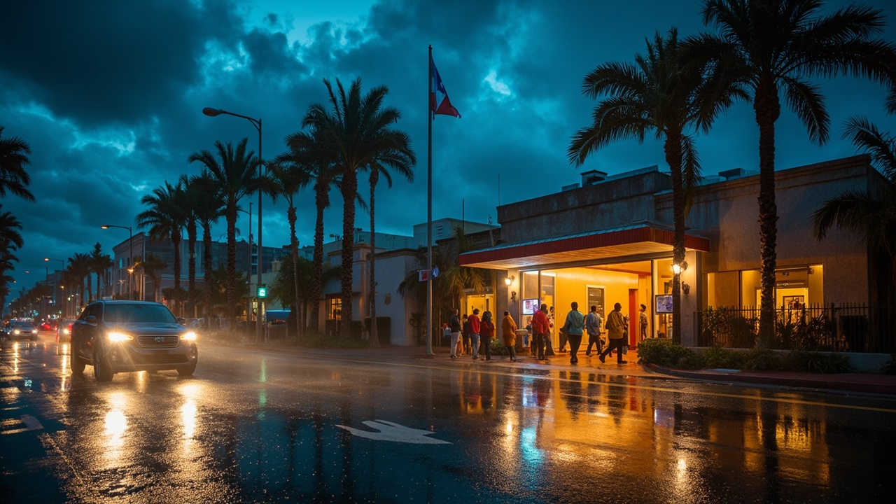
TL;DR: San Diego activated its Inclement Weather Shelter Program on Saturday, Oct. 11, opening overnight space for unhoused residents at two central sites as Post-Tropical Cyclone Rachel brought heavy rain, flooding and coastal hazards.
The City of San Diego and the San Diego Housing Commission opened overnight shelter for people experiencing homelessness as rain from Tropical Storm Rachel moved across the county Saturday into Sunday. The action centered on two locations in central San Diego, operating Sunday night into Monday morning, even as forecasters canceled the tropical storm watch on Sunday morning because dangers from flooding, surf and wind continued.
According to the Times of San Diego's shelter and sandbag guide, the Inclement Weather Shelter Program was activated Saturday by the Housing Commission in partnership with the city. The program partners named in that report are the Housing Commission, the City of San Diego, Father Joe's Villages and Living Water Church of the Nazarene.
Where overnight shelter was offered
The largest site was Father Joe's Villages Joan Kroc Center at 1501 Imperial Ave. in San Diego. The facility made room for as many as 61 adults, plus 11 beds reserved for families with minor children and single women.
Admission there began at 4 p.m. and continued through the night until the allocated spaces filled. Guests were scheduled to leave at 5 a.m. Monday. That Sunday-to-Monday window matched the period when the National Weather Service said moderate to heavy rain would still affect the county at times.
The second site was Living Water Church of the Nazarene at 1550 Market St. It held as many as 28 adults for the same storm night. The process differed from the Kroc Center. People could seek on-site reservations between 1 p.m. and 4 p.m. Sunday. Formal check-in for those holding reservations then started at 8 p.m., with departure set for 6:30 a.m. Monday.
City officials framed the two locations as respite from rainfall rather than long-term housing. Capacity was limited, and the Kroc Center operated on a first-come basis until full while the church site used the afternoon reservation period to organize entry.
Storm path and why shelters stayed open
Tropical Storm Rachel was expected to reach San Diego County on Saturday evening while tracking north from Baja California, Mexico. It later made landfall in Baja California Norte late Saturday night, then moved north as a post-tropical cyclone on Sunday morning.
Forecasters canceled the tropical storm watch for San Diego County on Sunday morning, but they left other alerts in place. According to NBC 7 San Diego's hazard update, a flood watch stayed in effect until 8 p.m. Sunday, a coastal flood warning continued until 3 p.m. Sunday, and a coastal flood advisory followed through Tuesday afternoon.
The National Weather Service warned that dangerous surf and rip currents would continue along San Diego beaches and asked the public to keep taking flooding and coastal hazards seriously. A separate city message urged people to stay away from beaches, particularly around high tides, because of significant coastal flooding, erosion and strong swell.
Rain was forecast to leave San Diego County on Monday, with temperatures gradually climbing by midweek toward a warm weekend. The shelter activation covered the final night of direct rain impacts before that clearing trend.
Flood watch details and river levels
The flood watch meant periods of moderate to heavy rain could still affect all of San Diego County through late Sunday afternoon. That rain followed several inches that had already fallen over parts of the county Saturday and Sunday as Rachel moved over the area.
One piece of positive news involved the San Diego River at Fashion Valley. The National Weather Service canceled a flood advisory there on Sunday. The agency projected the river would crest at 6.8 feet during the afternoon, a level below action stage.
A wind advisory added another concern in higher terrain. It covered the San Diego County mountains, including Julian and Pine Valley, through 5 a.m. Monday. Forecasters called for southwest winds of 25 to 35 mph with gusts to 60 mph. The California Highway Patrol and Caltrans issued a related wind advisory for Interstate 8 from Alpine to Ocotillo in East County through 5 a.m. Monday, also warning of gusts to 60 mph and difficult driving for high-profile vehicles such as RVs, vans and trucks.
Fire department readiness and overnight rescues
The San Diego Fire-Rescue Department held a Water Rescue Alert 2 status during the storm. That designation signals elevated readiness for flooding and swift-water emergencies, often tied to rainfall totals in the region.
Under Alert 2, fire-rescue resources take added precautions and prepare for possible water rescues. Swift-water rescue teams are placed near areas considered vulnerable to flooding. Engine and truck crews visually inspect known flood-risk spots in their districts, while personnel and specialized equipment are positioned to shorten response times if conditions deteriorate.
The need for that posture was clear overnight. A water rescue in southeast San Diego started around 11:30 p.m. Saturday and continued until about 1:30 a.m. Sunday, according to the Fire-Rescue Department. A man was trapped in a storm drain carrying fast-moving water near 33rd Street and Imperial Avenue and could not climb out on his own.
The Water Rescue 3 dispatch sent 31 personnel, including a division chief, a battalion chief, two lifeguard swift-water rescue teams, four fire engines, one truck, one rescue unit and a medic. Crews used a rope system to lift the man to safety, Fire-Rescue spokesman Matt Hoffman told City News Service.
A second swift-water incident was reported near 70th Street and Alvarado Road in La Mesa, behind the Trolley stop. Crews from Heartland Fire, San Diego Fire-Rescue, San Diego Lifeguards, the CHP Border Division, La Mesa Police and an American Medical Response ambulance responded to a person trapped in rapidly rising water inside a culvert. Heartland Fire later reported that an extensive operation extracted the victim, who went to a hospital in stable condition.
Firefighters also handled 17 reports of wires down, five transformer fires and 53 traffic collisions, mostly on freeways, during the overnight period, according to Hoffman. Highway dispatch logs noted spinouts, fender-benders, flooded highways and mudslides around the county Sunday, plus a multi-vehicle fatality on Interstate 8 in Grantville on Saturday.
Beach water quality and coastal closures
The San Diego County Department of Environmental Health and Quality issued a general rain advisory Sunday for all coastal beaches and bays because of recent rainfall. Officials said rain creates urban runoff that can sharply raise bacteria levels in ocean and bay water, especially close to storm drains, creeks, rivers and lagoon outlets, and may cause illness.
Beachgoers were told to avoid water contact such as swimming, surfing and diving during rain and for 72 hours after rain ends. That guidance extended caution well past the last showers, covering the start of the workweek even as surf conditions slowly improved.
In Coronado, police closed the intersection of Pomona Avenue, Glorietta Boulevard and Tenth Street, an area often called Five Points, because of flooding danger tied to the storm, tides and high surf. The closure was expected to last until Monday morning. Drivers were told to use another route and never move barricades or drive through standing water because floodwater can hide roadway damage.
Sandbags, alerts and how to report problems
Before the heaviest rain, city officials pointed residents to sandbags, emergency alerts and supply kits. Sandbags were available in limited supply at 11 recreation centers, with at least one site in each City Council District. Residents showing identification with proof of residency could receive up to 10 empty sandbags.
The listed city pickup points were Pacific Beach Recreation Center at 1405 Diamond St.; Robb Field Athletic Area at 2525 Bacon St. and North Clairemont Recreation Center at 4421 Bannock Ave.; Golden Hill Recreation Center at 2600 Golf Course Dr.; Martin Luther King Jr. Recreation Center at 6401 Skyline Dr.; Scripps Ranch Recreation Center at 11454 Blue Cypress Dr.; Standley Recreation Center at 3585 Governor Dr.; Allied Gardens Recreation Center at 5155 Greenbrier Ave.; Silver Wing Recreation Center at 3737 Arey Dr. and Southcrest Recreation Center at 4149 Newton Ave.; and City Heights Recreation Center at 4380 Landis St. San Diego County also published a separate list of dozens of sand and sandbag sites.
Stormwater Department Director Todd Snyder said crews had worked to prepare the city's stormwater system, while adding that community preparation was equally important. San Diego Gas & Electric said teams were monitoring conditions around the clock and staging personnel and equipment where most needed.
Residents were urged to enroll for emergency notifications at AlertSanDiego.org, download the Genasys Protect app, identify their safest routes and assemble an emergency kit holding at least three days of supplies. People were also asked to secure outdoor items, always treat downed power lines as energized, drive cautiously and keep batteries charged in case of outages.
Storm-related problems such as flooding or downed trees could be reported through the Get It Done app or by calling 619-527-7500. Life-threatening emergencies required a call to 911. Downed lines could also be reported to SDG&E at 1-800-411-7343, and suspected natural gas leaks required an immediate call to the numbers provided by officials. Road closures were anticipated, especially in the Midway area at Frontage Road and Pacific Coast Highway, where travelers were told to follow detour signs and never drive or walk through flooded streets.