TL;DR: Florida Executive Order 26-202 declared a state of emergency for 25 North Florida and Panhandle counties on Oct. 6, 2026, to pre-stage response assets ahead of Tropical Depression Nine.
Emergency declaration answers strengthening storm threat
Florida moved to a formal emergency posture before Tropical Depression Nine reached the northern Gulf Coast. According to the Executive Office of the Governor, Gov. Ron DeSantis signed Executive Order 26-202 on Tuesday, Oct. 6, 2026, declaring a state of emergency for 25 Florida counties in preparation for Tropical Depression Nine, which was expected to strengthen in the coming days.
The order was published through the Executive Office of the Governor on Oct. 7, 2026, as Order Number 202 under the administration of Ron DeSantis. The accompanying announcement said the Governor and the Florida State Emergency Response Team, known as SERT, were taking precautions to ensure Florida remained prepared for potential impacts.
Gov. DeSantis said the declaration would allow emergency managers to position people and supplies early. In the announcement he said:
“This order will allow the Florida Division of Emergency Management to stage critical preparedness resources and ensure Florida is ready to respond.”
He also urged residents to use the window before landfall to act, saying Floridians should get disaster plans in place and ensure their hurricane supply kit is stocked. For more resources on household preparation, the announcement directed residents to FloridaDisaster.org.
The declaration framed readiness as a statewide responsibility, not only a coastal task. State officials said impacts were expected to extend beyond the point of landfall, making early county-level coordination important across inland and coastal jurisdictions.
Which 25 counties are covered by Order 26-202
The emergency covers a contiguous readiness area across North Florida and the Panhandle. According to the Executive Office of the Governor, the counties named in the State of Emergency are Baker, Bay, Calhoun, Columbia, Dixie, Escambia, Franklin, Gadsden, Gilchrist, Gulf, Hamilton, Holmes, Jackson, Jefferson, Lafayette, Leon, Liberty, Madison, Okaloosa, Santa Rosa, Suwannee, Taylor, Walton, Wakulla, and Washington.
That list includes Panhandle coastal counties such as Escambia, Santa Rosa, Okaloosa, Walton, Bay, Gulf, and Franklin, along with Big Bend counties including Wakulla, Jefferson, Taylor, and Dixie. It also includes inland counties around Tallahassee and North Florida, including Leon, Gadsden, Liberty, Calhoun, Jackson, Holmes, and Washington, plus northeastern counties Baker, Columbia, Hamilton, Suwannee, Madison, Lafayette, and Gilchrist.
Local coverage noted that Baker and Columbia counties in Northeast Florida were among those included, underscoring that the order was not limited to beachfront communities. The geographic spread signaled that wind, rain, and tornado hazards could affect communities well away from the eventual center.
Households in those counties were encouraged to review disaster plans and check hurricane supplies during the preparation period. State officials also asked residents to follow @FLSERT on X for live updates and to visit FloridaDisaster.org for additional preparation information.
Forecast called for Gulf landfall later in the week
The state’s forecast message focused on intensification and a broad impact area. According to the Executive Office of the Governor, the current forecast indicated a tropical storm or hurricane could make landfall somewhere along the central Gulf Coast later that week.
Officials warned that effects would not be confined to the landfall point. Heavy rainfall, strong winds, coastal flooding and isolated tornadoes were described as possible across North Florida. Additional precipitation could further saturate soils and increase the potential for flash flooding following the state’s recent significant rainfall.
Reporting published Oct. 7 added detail about the system’s transition. According to weather.com in “Florida declares emergency as Isaias set to reach hurricane strength,” Tropical Depression Nine strengthened into Tropical Storm Isaias early Wednesday, and the system was expected to become a hurricane before reaching shore. That report described rapid intensification as expected in the next few days.
The same weather.com report said Isaias was set to become the first hurricane of the 2026 Atlantic season and, by Friday, could be a Category 2 hurricane before making landfall along the Gulf Coast. It placed the possible landfall zone at that time between Gulfport, Mississippi, and Panama City, Florida, with landfall estimated sometime late Friday or early Saturday.
A separate Florida Phoenix update said Isaias was expected to become a hurricane by Thursday, citing an update Wednesday morning from the National Hurricane Center and Pacific Hurricane Center. That update also warned that swells from the storm were expected to reach the western and northern portions of the Yucatan Peninsula starting Thursday and spread northward toward the U.S. Gulf Coast later in the week, with likely life-threatening surf and rip current conditions.
Why saturated ground raised flash-flood concern
Florida entered the storm window after a wet stretch. According to the Executive Office of the Governor, recent significant rainfall had already affected the state, leaving soils vulnerable to further saturation.
Officials said additional precipitation could further saturate soils and increase the potential for flash flooding. That detail mattered for readiness planning because flash flooding can develop away from rivers and coasts, including in low-lying roads, neighborhoods with poor drainage, and areas near creeks and retention systems.
The state also highlighted heavy rainfall as a threat extending beyond the landfall point. Combined with strong winds, coastal flooding, and isolated tornadoes possible across North Florida, the message pointed households toward all-hazards preparation rather than wind-only planning.
Residents were advised to keep disaster plans current and to ensure hurricane supply kits were stocked. State officials pointed to FloridaDisaster.org as the central source for preparation resources and to @FLSERT on X for continuing updates.
SERT staged nine categories of response assets
The operational purpose of the emergency order was to move supplies before roads and weather deteriorated. According to the Executive Office of the Governor, SERT teams were mobilizing resources to support storm preparation and response efforts.
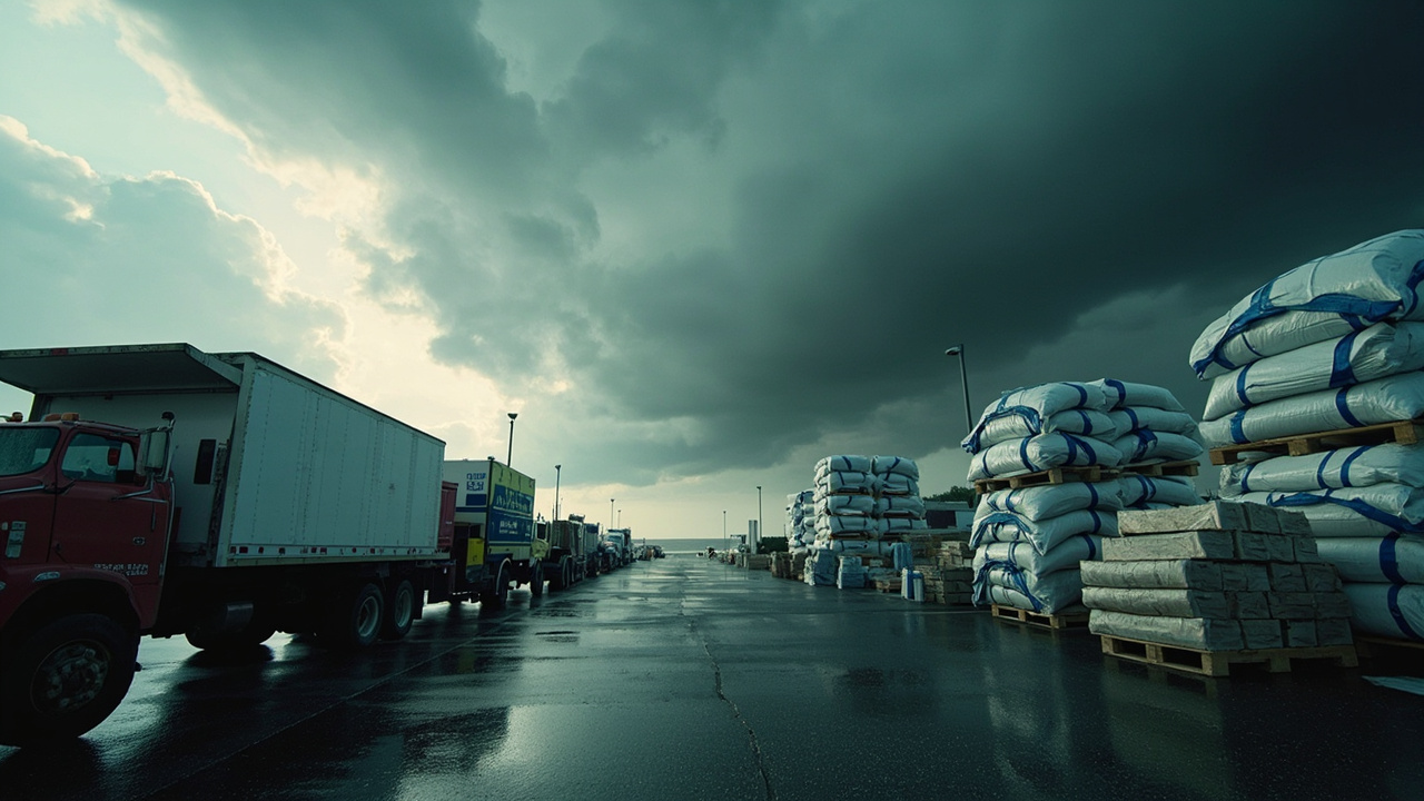
Those resources were to be strategically staged in Tallahassee and the Santa Rosa area to cover rapid deployment as needed. Staging in two hubs allowed crews to shift generators, water, food, and flood-protection materials toward affected counties once the track became clearer.
The staged assets listed by the state included generators, fuel, flood barriers, boxed water pallets, shelf-stable meals, flood buckets, tarps, Tiger Dams, and sandbags. State officials described the effort as covering both immediate response needs, such as power and access, and recovery needs, such as temporary roof cover and cleanup support.
The announcement also emphasized coordination through the Florida Division of Emergency Management. Gov. DeSantis said the order would allow the Division to stage critical preparedness resources and ensure Florida was ready to respond.
Duration, Guard authority and emergency powers
The executive action created a defined emergency period and expanded response authority. According to Yahoo News reporting on the Florida order, the state of emergency was set to remain in effect for 60 days unless extended.
The same Yahoo News report said the executive order authorized the Florida National Guard and Florida State Guard to activate as needed in response to the storm. That provision gave the state flexibility to add personnel for logistics, movement of supplies, and support to local emergency operations if conditions required.
The order’s county scope also helped local governments document emergency costs and coordinate mutual aid. By naming 25 counties in advance, the state allowed emergency managers in the Panhandle, Big Bend, and North Florida to begin staging, staffing, and public messaging under a unified emergency framework.
The Executive Office of the Governor listed the order as EO 26-202 with a file upload titled EO 26-202.pdf. The listing showed a date issued of Oct. 6, 2026, and submission on Oct. 7, 2026.
Warnings extended from Mississippi to Florida
By Oct. 7, formal tropical warnings covered a wide section of the northern Gulf Coast. According to weather.com in “Florida declares emergency as Isaias set to reach hurricane strength,” a Hurricane Warning was in effect from Ocean Springs, Mississippi, to the Bay/Gulf County Line in Florida.
That report said heavy rain was expected to begin Friday, with flash flooding, damaging wind gusts, potentially life-threatening storm surge, and tornadoes possible as the storm came ashore. It described heavy rain, destructive winds, and storm surge as threats from Louisiana to the Florida Panhandle.
The same report said Isaias had sustained winds of 70 mph at the time of reporting and was moving east-northeast. It also characterized the storm as compact and moving into conditions favorable for development, with hurricane strength expected by Thursday morning.
Those warning details reinforced Florida’s decision to declare early for Panhandle and North Florida counties. Even communities outside the warning area were told to prepare for rain, wind, flooding, and isolated tornadoes.
Louisiana parishes opened sandbag sites early
Florida was not the only Gulf state preparing for rapid deployment of flood-protection supplies. According to weather.com in “Florida declares emergency as Isaias set to reach hurricane strength,” some parishes in southern Louisiana opened self-service sandbag locations to help residents protect homes.
St. Tammany Parish said five locations would open starting Thursday at noon, with residents asked to bring a shovel. The listed sites were Airport Road Barn at 34783 Grantham College Drive in Slidell, Fritchie Barn at 63119 LA 1090 in Pearl River, Keller Barn at 63131 Fish Hatchery Road in Lacombe, the Parish Government Complex at 21410 Koop Drive in Mandeville, and the Parish Fairgrounds at 1301 N. Florida Street in Covington.
Terrebonne Parish reminded residents that two permanent sandbag locations were ready: the Civic Center at 346 Civic Center Boulevard in Houma and the Adult Softball Complex at 9544 East Main Street in Houma. The report also said WDSU TV in New Orleans reported multiple high school football games being rescheduled because of the storm threat.
For Florida households, the Louisiana actions served as a practical reminder to locate sand, bags, tarps, and drainage tools before heavy rain began. State officials in Florida listed sandbags, tarps, flood barriers, and Tiger Dams among staged assets.
What households in the 25 counties should do now
The state’s household message was direct and repeated across announcements. Residents should get disaster plans in place, ensure hurricane supply kits are stocked, visit FloridaDisaster.org for preparation resources, and follow @FLSERT on X for live updates.
That guidance applied even if a household was inland or outside the expected landfall zone. Because officials expected impacts beyond the landfall point, including heavy rainfall, strong winds, coastal flooding, and isolated tornadoes across North Florida, early action gave families more options before conditions changed.
The declaration and staging in Tallahassee and the Santa Rosa area were designed to shorten response time once needs emerged. Households could complement that effort by confirming evacuation routes, communications plans, important documents, and supplies for several days without power or normal services.
Sources referenced
- Governor Ron DeSantis Issues Executive Order In Preparation For Tropical Depression Nine | Executive Office of the Governor (https://www.flgov.com/eog/news/press/2026/governor-ron-desantis-issues-executive-order-preparation-tropical-depression-nine)