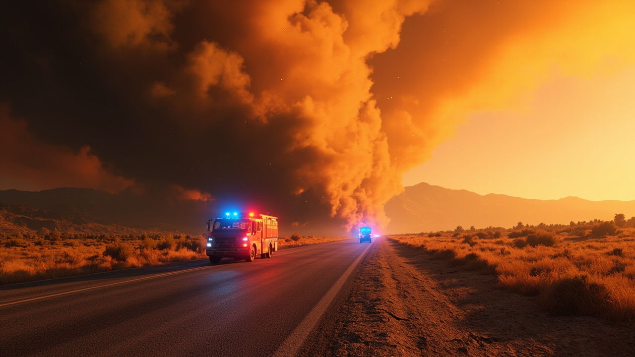
TL;DR: The evacuation order for the Division Fire near Aberdeen, Inyo County, was downgraded to an evacuation warning on Sept. 4, 2026, while U.S. 395 remained restricted near Taboose Creek Road and Division Creek.
Order Downgraded Within Minutes On Sept. 4
An evacuation order became an evacuation warning on the afternoon of Sept. 4, 2026, in Inyo County, California.
KOLO published its initial report at 1:44 p.m. PDT on Sept. 4, 2026, describing an evacuation order tied to a vegetation fire in the Aberdeen area, according to KOLO.
KOLO updated that report at 1:53 p.m. PDT on Sept. 4, 2026, stating that the evacuation status had been downgraded to an evacuation warning, according to KOLO.
The original evacuation order had appeared in a 1:30 p.m. update on the Genasys Evacuation map, according to KOLO.
A separate public alert issued by InyoCountyCA at 1:47:26 p.m. PDT on Sept. 4, 2026, described an ICSO evacuation warning for the area of U.S. Highway 395 between Division Creek and Aberdeen, according to Forth Emergency Alerts mirror of the InyoCountyCA alert.
That alert told residents to prepare to evacuate and described an active fire in the area of U.S. Highway 395 between Division Creek and Aberdeen, according to Forth Emergency Alerts mirror of the InyoCountyCA alert.
The alert listed the duration as unknown, according to Forth Emergency Alerts mirror of the InyoCountyCA alert.
The alert directed residents to https://ready.inyocounty.us/ for further information, according to Forth Emergency Alerts mirror of the InyoCountyCA alert.
The alert identified Independence, California, as the center point for the notification area, according to Forth Emergency Alerts mirror of the InyoCountyCA alert.
Where The Division Fire Was Reported
The fire was identified as the 5-acre Division Fire, according to KOLO.
The Division Fire was reported about one mile north of Blackrock, according to KOLO.
The ignition area was described as the center divider north of Division Creek and south of Taboose in the area of Aberdeen in Inyo County, according to KOLO.
The Inyo County Sheriff's Office said in a Friday, Sept. 4, Facebook post that the fire had jumped to the west side of Highway 395, according to KOLO.
The same Sheriff's Office update said the fire was moving northwest, according to KOLO.
Emergency personnel were on scene after the fire crossed the highway, according to KOLO.
Drivers were asked to avoid the area while emergency personnel worked, according to KOLO.
What The Warning Covers
The downgraded status is an evacuation warning rather than an order to leave immediately.
The warning applies to the area of U.S. Highway 395 between Division Creek and Aberdeen, according to Forth Emergency Alerts mirror of the InyoCountyCA alert.
Residents in that warning zone were told to prepare to evacuate, according to Forth Emergency Alerts mirror of the InyoCountyCA alert.
The Genasys Evacuation map was the system cited for the initial 1:30 p.m. order location north of Division Creek and south of Taboose, according to KOLO.
The Inyo County readiness site, https://ready.inyocounty.us/, was listed as the county source for further information, according to Forth Emergency Alerts mirror of the InyoCountyCA alert.
Households in a warning zone should be ready to leave without delay if conditions change and officials escalate the warning.
Keeping vehicles fueled, documents accessible, medications packed, and evacuation routes checked helps households act quickly when a warning is active.
Monitoring the Genasys Evacuation map, the Inyo County Sheriff's Office Facebook updates, and county alert feeds helps residents track whether a warning remains a warning or returns to an order.
Highway 395 Restrictions Around The Fire
Highway 395 was initially described as closed in both directions near the fire, according to KOLO.
A later traffic update said both southbound lanes of U.S. 395 were closed from Taboose Creek Road to Division Creek Safety Roadside Rest Area in Inyo County, according to KOLO.
That lane closure information came from a Caltrans District 9 Facebook post, according to KOLO.
Taboose Creek Road marks the northern reference point for the southbound closure, while Division Creek Safety Roadside Rest Area marks the southern reference point, according to KOLO.
Travelers on U.S. 395 through Inyo County should expect emergency vehicles, changing lane controls, and possible additional closures near Aberdeen, Division Creek, and Taboose.
Drivers should avoid stopping near the fire area, keep distance from emergency personnel on scene, and use alternate planning until the highway fully reopens.
Why Small Median Fires Can Escalate Quickly
A 5-acre fire may sound limited, but this incident showed how a center-divider fire can cross a major highway.
The Division Fire started on the center divider, then jumped to the west side of Highway 395, according to KOLO.
Movement was toward the northwest after the highway crossing, according to KOLO.
The surrounding landmarks — Division Creek, Taboose, Aberdeen, and Blackrock — place the fire along a narrow north-south highway corridor where roadside vegetation can carry flames across lanes.
When flames cross U.S. 395, both travel and evacuation movement are affected at the same time.
That overlap is why officials paired the evacuation update with highway closures and a request for drivers to avoid the area, according to KOLO.
Planning Ahead During Active Fire Season
The Aberdeen warning arrived during a Labor Day weekend period when federal land managers were urging extra caution.
The U.S. Forest Service Pacific Southwest Region issued a Labor Day weekend recreation safety release on Sept. 4, 2026, according to the Forest Service Pacific Southwest Region safe-recreation release.
The Forest Service encouraged visitors to plan ahead and check current fire restrictions and area closures in place due to active wildfires, according to the Forest Service Pacific Southwest Region safe-recreation release.
Land managers recommended planning alternate destinations and staying flexible because conditions and evacuation levels can change quickly, according to the Forest Service Pacific Southwest Region safe-recreation release.
Visitors were urged to use a Know Before You Go approach by reviewing closures, fire restrictions, and road conditions before leaving home and preparing backup plans in case sites become inaccessible, according to the Forest Service Pacific Southwest Region safe-recreation release.
For current fire conditions, visitors should check each forest's website for alerts or contact a local office directly, according to the Forest Service Pacific Southwest Region safe-recreation release.
Sharing an itinerary with someone, traveling in groups, carrying reliable maps, and preparing for emergencies were listed as planning steps because mobile service may be unavailable, according to the Forest Service Pacific Southwest Region safe-recreation release.
Sunrise and sunset were described as ideal for hikes, with a recommendation to avoid heat peaks that can cause heat-related illnesses, according to the Forest Service Pacific Southwest Region safe-recreation release.
Preparation for heat included bringing ample water, applying sunscreen, and dressing for hot conditions, according to the Forest Service Pacific Southwest Region safe-recreation release.
Fire Prevention And Roadside Safety Steps
The Forest Service said campfires must follow local restrictions, be built only in designated areas, include a cleared 5-foot bare-soil perimeter, and be extinguished completely using a drown, stir, and feel method before leaving, according to the Forest Service Pacific Southwest Region safe-recreation release.
No fireworks are allowed, and visitors were told to leave fireworks at home, according to the Forest Service Pacific Southwest Region safe-recreation release.
Vehicle safety guidance said not to park on dry grass because hot vehicle components can spark fires, according to the Forest Service Pacific Southwest Region safe-recreation release.
Traffic and parking guidance separately warned visitors to avoid parking on vegetation because of spark-started fire risk, according to the Forest Service Pacific Southwest Region safe-recreation release.
Near active fires, visitors can expect firefighter traffic, dusty roads, and areas of smoke, according to the Forest Service Pacific Southwest Region safe-recreation release.
Drivers on forest roads near active fires were told to use caution and follow the designated speed limit, according to the Forest Service Pacific Southwest Region safe-recreation release.
Crowded roads were expected, and visitors were asked to consider carpooling, biking, or public transport, according to the Forest Service Pacific Southwest Region safe-recreation release.
Wildfires, illegal fireworks, or unsafe fire use should be reported by calling 911, according to the Forest Service Pacific Southwest Region safe-recreation release.
Burn Areas, Trees, Water, And Pets
The Forest Service warned visitors to be cautious of dead or hazard trees and to avoid camping under them, according to the Forest Service Pacific Southwest Region safe-recreation release.
Burned landscapes were described as presenting safety hazards that either did not exist before the fire or were worsened by the fire, according to the Forest Service Pacific Southwest Region safe-recreation release.
Visitors were told to watch for burned or falling trees and limbs, ash pits, burned stump holes, and flash flooding in burn areas, according to the Forest Service Pacific Southwest Region safe-recreation release.
Recreating responsibly in fire burn areas was listed as a safety priority, according to the Forest Service Pacific Southwest Region safe-recreation release.
Packing out all trash and cleaning up after visits was urged to protect wildlife and water systems, according to the Forest Service Pacific Southwest Region safe-recreation release.
Dog rules vary by location, with many beaches and wilderness zones prohibiting dogs, so visitors were told to respect dog rules, according to the Forest Service Pacific Southwest Region safe-recreation release.
Electric bicycles should be ridden only on designated motorized trails, with courtesy to others, according to the Forest Service Pacific Southwest Region safe-recreation release.
Cold-water shock was identified as a hazard, and wearing life jackets during swimming or boating was recommended, according to the Forest Service Pacific Southwest Region safe-recreation release.
Visitors were told to check the forecast and remain aware of flash-flooding risk, especially in burned areas, according to the Forest Service Pacific Southwest Region safe-recreation release.
Sources referenced
- Evacuation order downgraded to warning after vegetation fire in Aberdeen area - KOLO (https://www.kolotv.com/2026/09/04/evacuation-order-issued-after-vegetation-fire-jumps-highway-395-aberdeen-area/)
- Alert from InyoCountyCA | Emergency Alerts | Forth (https://www.forth.news/lists/ipaws/Cej4Ad7ZQEKQm3tAkY6Ag)